For a satisfying round trip, here’s an option for a decent walk beginning and ending at Piha, taking in the McKenzie, Maungaroa Ridge Track and Maungaroa Lookout Track.
It took us just over 3 hours and that included slow progress on the steep bits, stops to take photos and a sit down at McKenzie Junction to eat a banana.
Starting point is the Piha Valley Track at the end of Glen Esk Road. You take an easy walk along the bank of the Piha Stream for about 20 minutes before crossing the steam to go up the McKenzie Track.
At this point, we did not enjoy the off-leash black lab which came charging out of the bush at us, baying like the Hound of the Baskervilles. Off-leash, off-track, everything wrong and a good example of why many dog owners get a bad name. They always think their dog is an angel, but dogs tend to bound ahead of their owners putting them straight in the path of other hapless walkers.
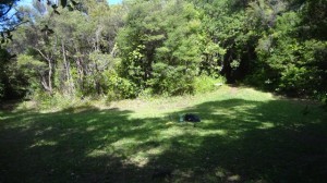
McKenzie Track was a long slow grind upwards through marvellous bush. We took an hour but fitter people do it in less. The last time I did this one was coming down from Anawhata Road, which is preferable, if hard on knees. You basically following a long curving ridge that joins to the Maungaroa Ridge. There is a grassy clearing here at McKenzie Junction (height 290 m) where Poleline, Quarry, Maungaroa and McKenzie Tracks converge. McKenzie is apparently named after a bushman, though having 10 years research on the Piha Mill I have not come across a McKenzie. It is not far from here to Anawhata Road by either the Quarry or Poleline Tracks.
You wonder whether there was once a bush camp here at this flat spot, but there was a camp at the nearby Black Rock Dam so maybe not. In any case it is a good spot for resting before spraying the boots again and continuing on the Maungaroa Ridge Track.
Near the start of this new track, I could hear water and when I looked at the GIS map back home I saw that there is a waterfall on the Wekatahi below, so that would be what I could hear.
This is an amazing track. If you look at the GIS map and turn on the regional park track function, you can see this track follows the narrowest of ridgelines, all the way back to Piha. A lot of the way the terrain falls away very steeply on either side of the track, the ridge top is literally only 3-4 metres wide. Much of it is apparently an old Maori trail that ends at the Maungaroa Pa, one of the most important pa sites on the coast. The site is just below Murrays house on a bluff that sits just above Garden Road.
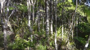
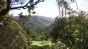
As well as glimpses of spectacular bushclad valleys, the Piha Valley to the south and the Wekatahi to the north, the bush is really interesting: many groves of slender regenerating kauri and huge numbers of seedlings of rimu, celery pine, red matipo, and oleria.
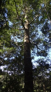
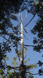
It was good to see so many kauri seedlings, as this was the first place that the deaths of kauri trees were noticed in 2006, and from this the identification of a new disease, Phytopthora taxon agathis. There are many dying kauri to be seen, from small to large, though oddly, while there are some groups, it is often the solitary dying specimen amidst apparently healthy trees.
This is a long easy walk, though you need to watch your feet as the track is heavily rutted in places – ?mountain bikes – and rooty. Too often you were walking over kauri tree roots. The signs about kauri PTA ask you to avoid these but it is simply not possible.
After a long easy gradual descent, you reach the intersection with the Maungaroa Lookout Track. You turn left, and this takes you steeply down to Glen Esk Road. There are a couple of un-signposted lookout points, to the left to Kitenui Knob which sits over Piha Mill Camp, and to the right, a view down Piha Valley to the beach.


